Global Connectivity Map
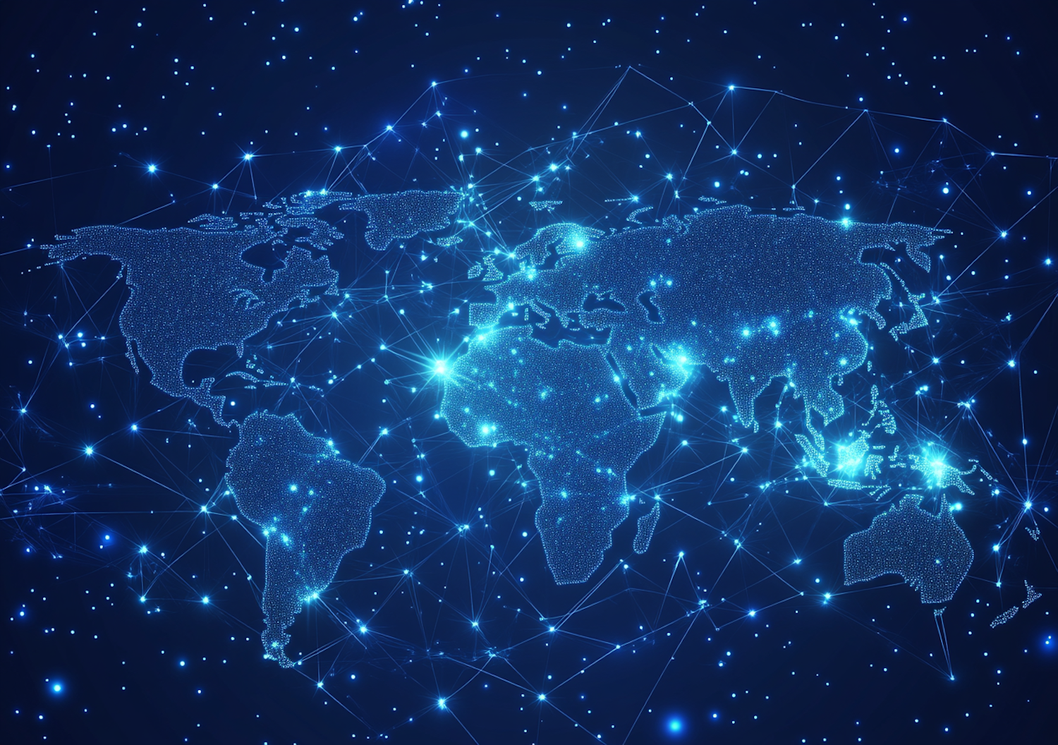
The image displays a vivid depiction of a global map in a deep blue hue with bright points symbolizing major cities or nodes connected by lines that could represent data or communication links. This digital representation of the Earth highlights continents like Asia, America, Europe, and Africa, dappled in dots that grow denser at certain regions suggesting urban concentration. Notably, the image uses various shades of blue and white to denote different intensities of connections or perhaps populations, with glowing centers indicating significant hubs of activity. The perspective is from above, looking down at the planet, with a focus on interconnectedness and network visualization. This kind of imagery is typically used to illustrate concepts such as globalization, internet connectivity, or international relations. The visual style is clean, modern, and technically stylized, emphasizing the theme of a highly connected world.
The image displays a vivid depiction of a global map in a deep blue hue with bright points symbolizing major cities or nodes connected by lines that could represent data or communication links. This digital representation of the Earth highlights continents like Asia, America, Europe, and Africa, dappled in dots that grow denser at certain regions suggesting urban concentration. Notably, the image uses various shades of blue and white to denote different intensities of connections or perhaps populations, with glowing centers indicating significant hubs of activity. The perspective is from above, looking down at the planet, with a focus on interconnectedness and network visualization. This kind of imagery is typically used to illustrate concepts such as globalization, internet connectivity, or international relations. The visual style is clean, modern, and technically stylized, emphasizing the theme of a highly connected world.
Views
Downloads
Collected